I found a map server which has maps from the mid 20th century (about 1954, because half the houses around where I was brought up are still unbuilt). It comes from ‘National Library of Scotland Historic Maps’ and covers all of Britain (not UK). I can follow old railways that don’t exist any more, and remember a time when footpaths were in black. I remember when the Ordnance Survey first started using colours for rights of way, and how daring and new and exciting I thought it was.
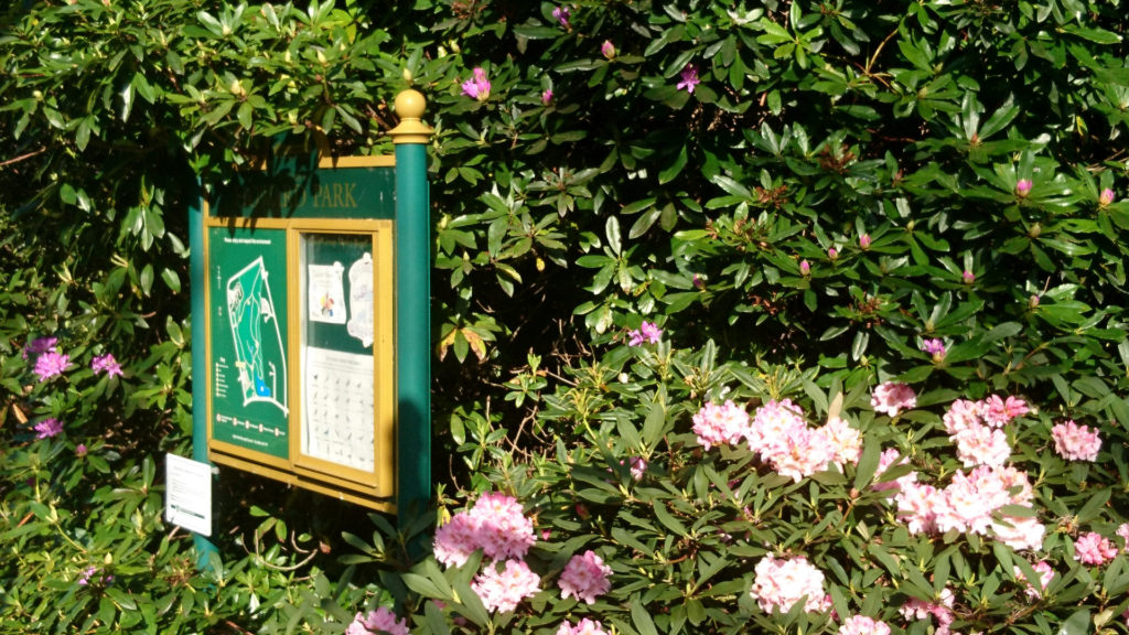
After passing the old hillfort at Mouselow, I took my first walk through a park this morning, and the park was really looking good.

Enough of the past. We must think of the future and start learning lessons now from this pandemic: it won’t be the last.
Overnight my server’s started being stricter with PHP, and it’s found out some of the inadequacies of my coding. So a few things to change this morning, and a bit of tangled logic to disentangle. That’s the problem with programs that ‘just growed’.
Living God, walk with us
when we walk through the shadows,
hold us by the hand
and do not go far from us.
